
Congo Launches National Geological Mapping Programme
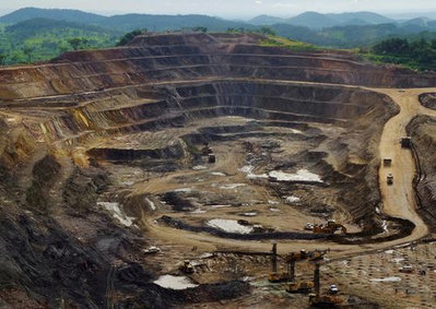
Democratic Republic of Congo has launched an airborne geological mapping project to improve knowledge of its vast mineral reserves. The initiative aims to reduce exploration risk and attract investment into underexplored regions.
Xurve View

Insights:
Xurve View
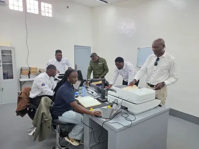
Democratic Republic of the Congo launched an airborne geological mapping program on Monday morning to lift its geoscientific coverage to 46.1% from 22.27%. The nationwide initiative aims to lower exploration risk and draw new capital into underexplored areas. The state is tightening its control over mineral data to capture a larger share of future resource revenues.